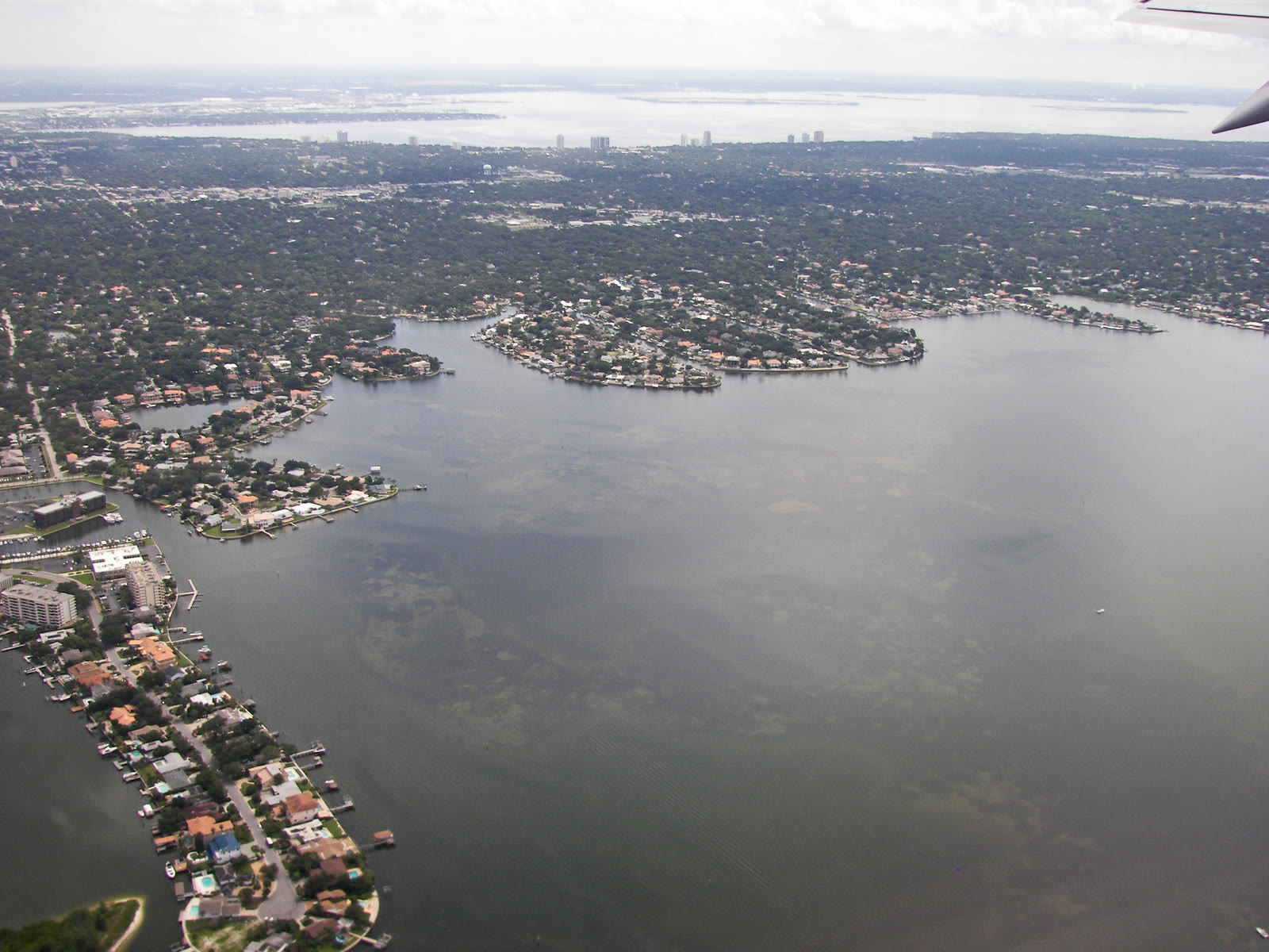
The first thing Culbreath Isles wants you to notice is that you can't get in. A guard sits in a booth behind a low concrete wall, and past him a single road runs out onto a handful of islands so tidy they look drawn rather than grown — a cul-de-sac finger, water on both sides, a dock behind every house. None of it existed when your grandparents were young. The islands are made of the bay itself: pumped up off the bottom of Old Tampa Bay a little over sixty years ago and shaped into some of the most expensive waterfront in the city.
But the channel you cross to reach that gate runs through something much older. To dig it, the men who built these isles bulldozed a set of mounds that people had been piling up on this shore for five thousand years. That's the strange thing about the ground under Culbreath Isles: it has been prime real estate for a very long time, and almost every owner has claimed it by erasing the one before.
01 — before it had a nameThe people who built the mounds
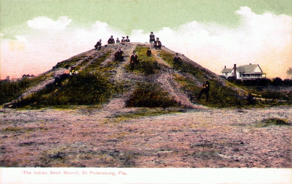
Long before there was a Tampa to be south of, this shoreline belonged to people we know almost entirely by what they left in the dirt. Along this stretch of Old Tampa Bay they built low mounds — heaping up oyster and clam shell, bone, and broken tools over generations of living off an estuary that was, then as now, thick with fish. The oldest of it goes back somewhere between three and five thousand years, which puts the first residents of this address in roughly the age of the pyramids.
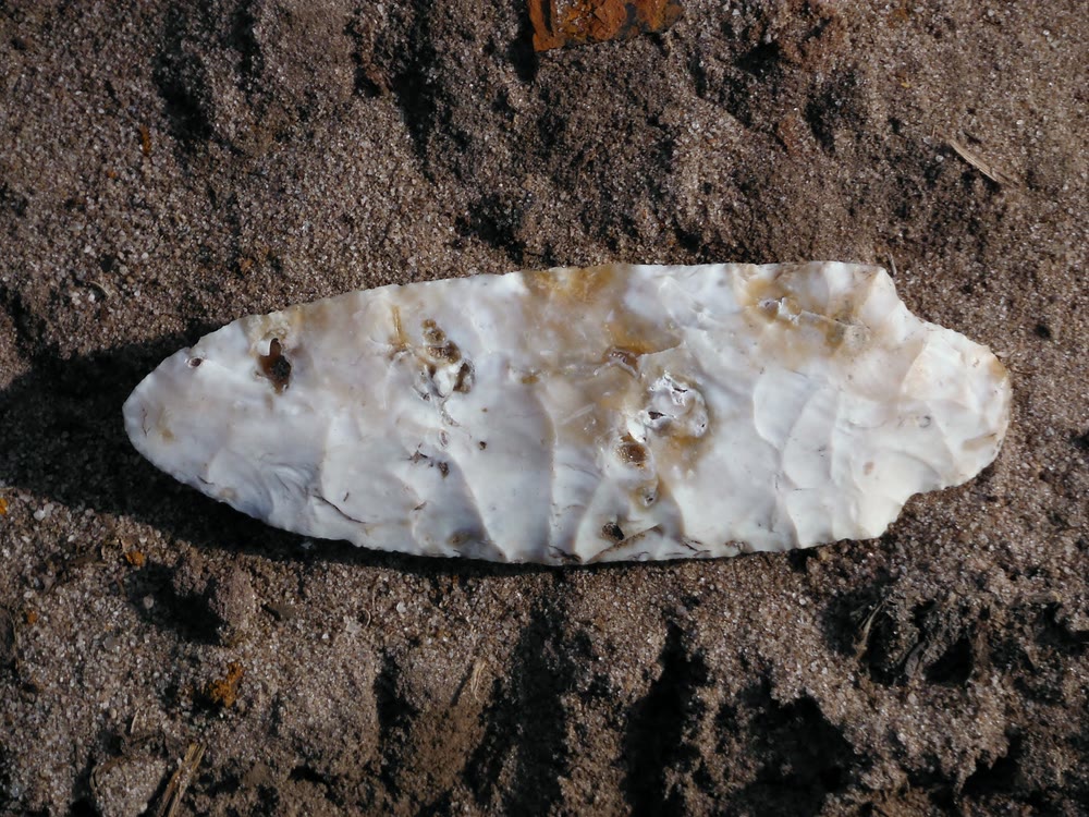
They were hunters and fishers of what archaeologists call the Archaic period, and they worked stone well enough that Florida's ancient spear points are still sorted, in part, by shapes made near here. One broad, cornered blade in the standard Florida typology is called the Culbreath point — and the patch of shore that named it, catalogued as the Culbreath Bayou site, sat just about where the neighborhood's entrance is now. A stone tool knapped on this bay four thousand years ago carries, today, the name of a man who would not arrive for another forty centuries.
02 — the colonelA grove where the water is now
That man was Harry Culbreath. He came to Tampa in the late 1860s from South Carolina — a Confederate veteran leaving a home state the war had wrecked — and bought a long tract of bay shore for about a dollar and a quarter an acre, close to nothing for land close to nowhere. On it he planted oranges. Local histories credit him as the first to grow citrus on the Interbay Peninsula, and remember one exact habit: he set his trees in rows twenty-five feet apart, room enough to work between them, a spacing later growers copied.
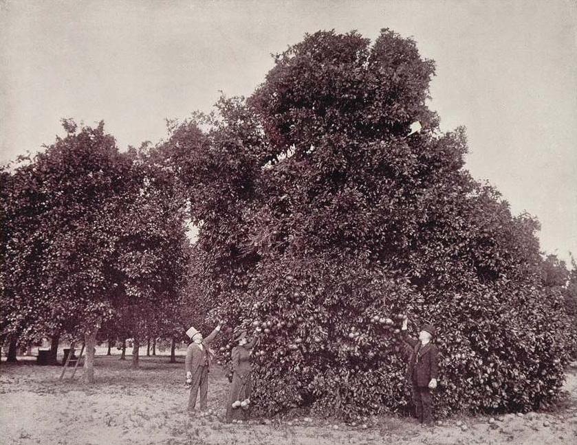
The grove gave the whole area its name. A tidal creek off the bay became Culbreath Bayou; a road became Culbreath; and eventually, so would the islands. But Culbreath never saw the islands, because in his lifetime they were still open water — grass flats and shallows off the end of his land, good for mullet and not much else. The single most valuable part of the modern neighborhood, the waterfront itself, had not been invented yet.
The most valuable part of the neighborhood — the waterfront itself — had to be manufactured.
03 — the dredgeHow you make an island out of a bay
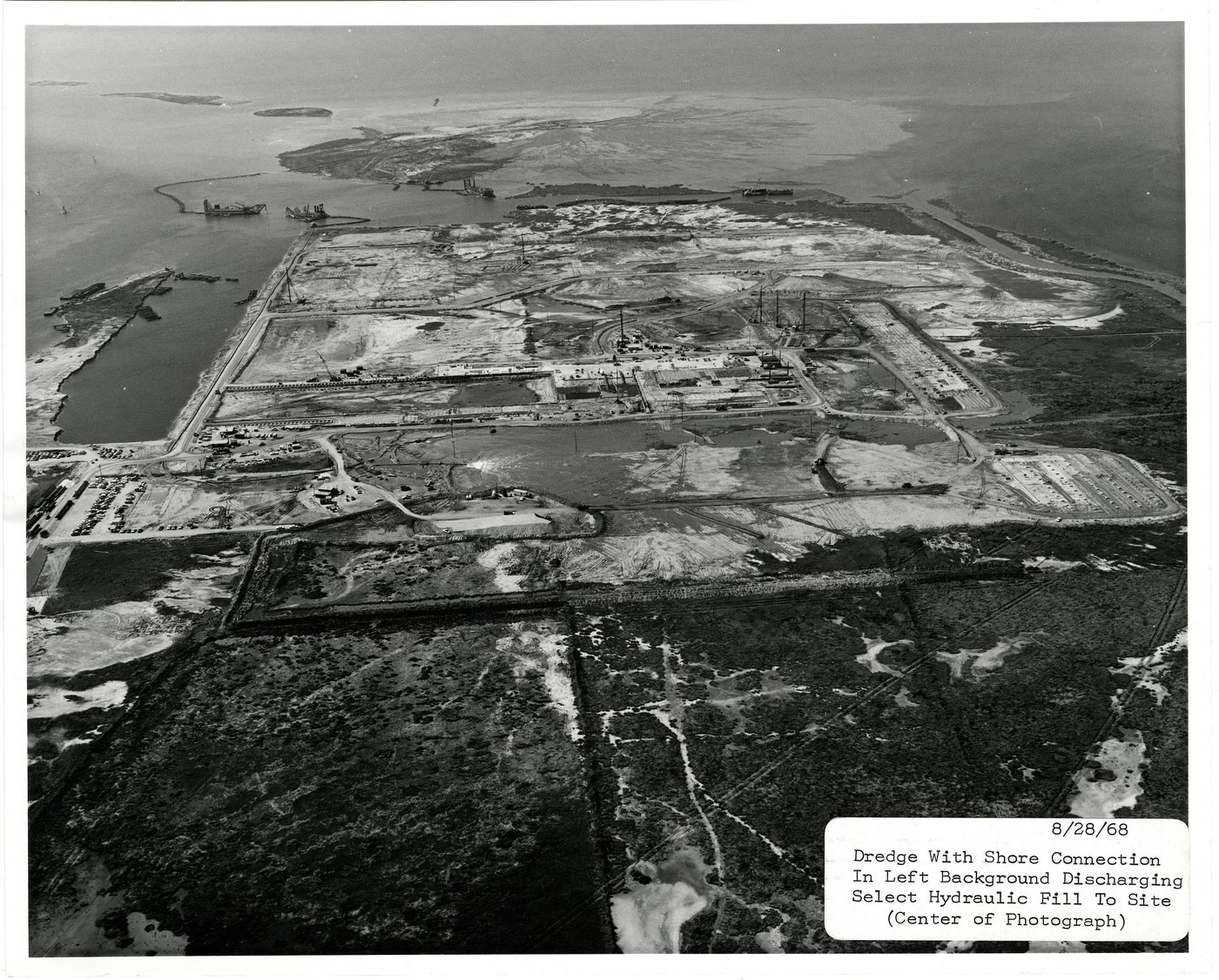
Turning Tampa Bay into land was a Florida art form by the time it reached Culbreath's old grove, and the method was brutally simple. A dredge sat out in the shallows and sucked up the bottom — sand, shell, grass and all — then pumped the slurry through a pipe onto a staked-out shape until a new island rose, dripping, above the tide. Between the mid-1940s and the 1960s, developers around the bay used it to conjure whole neighborhoods of finger islands: strips of fill just wide enough for a road down the middle and a house on either side, so that every lot on both banks could be sold as waterfront.
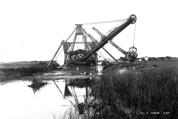
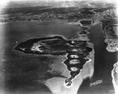
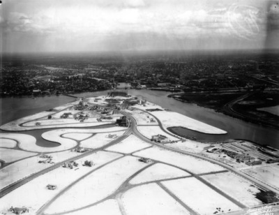
Next door, Beach Park had gone up on filled land in the 1924 boom. Culbreath's turn came in the 1960s, when developers — Joe Byars foremost among them — platted Culbreath Isles out of the bayou and the flats, dredged the canals that give the isles their fingers, and did one more thing that was new for Tampa: they walled it off and put a guard on it. Culbreath Isles is remembered as the city's first neighborhood to seal itself behind a round-the-clock gate and a concrete wall — fewer than two hundred houses, each with deep water at the back door and a single, watched way in.
04 — what it costThe channel through the mounds
To open the isles to the bay, the dredge had to cut an east–west channel at the entrance — and that channel ran straight through the old mounds. They were excavated and then destroyed, the five-thousand-year-old shell heaps carried off as fill and spoil so the boats could pass. What survived did so almost by accident: the distinctive points and tools pulled from the ground in those years went into the record instead of into the water, which is how a vanished village on a dredged-away mound ended up with its name stamped onto a page of Florida archaeology.
The bay paid, too. Every finger island was a patch of grass flat buried under fill, and across Tampa Bay the dredge-and-fill boom smothered the shallow turtle-grass meadows the fish — and the mound-builders before them — had lived on. By 1970 the reckoning came: a federal court, ruling on a Tampa Bay dredging fight, held that the government could weigh the cumulative damage of filling an estuary at all — and the era of manufacturing waterfront out of open bay effectively ended. Culbreath Isles had made it in just under the wire.
05 — what's leftThe address that keeps being claimed
Drive the neighborhood now and the layers are all still there if you know to look. Culbreath Bayou is still on the map — a real tidal creek carrying the colonel's name into a bay he bought for pocket change. The isles he never saw are among the most valuable ground in Tampa, deep-water docks lining canals that are themselves only sixty years old. The grove is gone; the mounds are gone; the grass flats are mostly gone. The stone point remains — in a museum drawer and a typology — the one resident of this shore whose name outlasted everything built on top of it.
The guard at the gate is keeping people off a piece of ground that has been worth guarding for five thousand years. He is only the latest to try. Everyone who ever wanted this shoreline got it the same way — by clearing off whatever the last owner had loved about it — and then, in turn, was cleared.
The wall is new. The habit is very old.